Apps gallery
Welcome to the Apps Gallery. Here you can explore, try, and share ready-to-use app templates and their accompanying source code. Discover what you can do with VIKTOR and use it as inspiration to build your own apps!
Disciplines
Integrations
 by
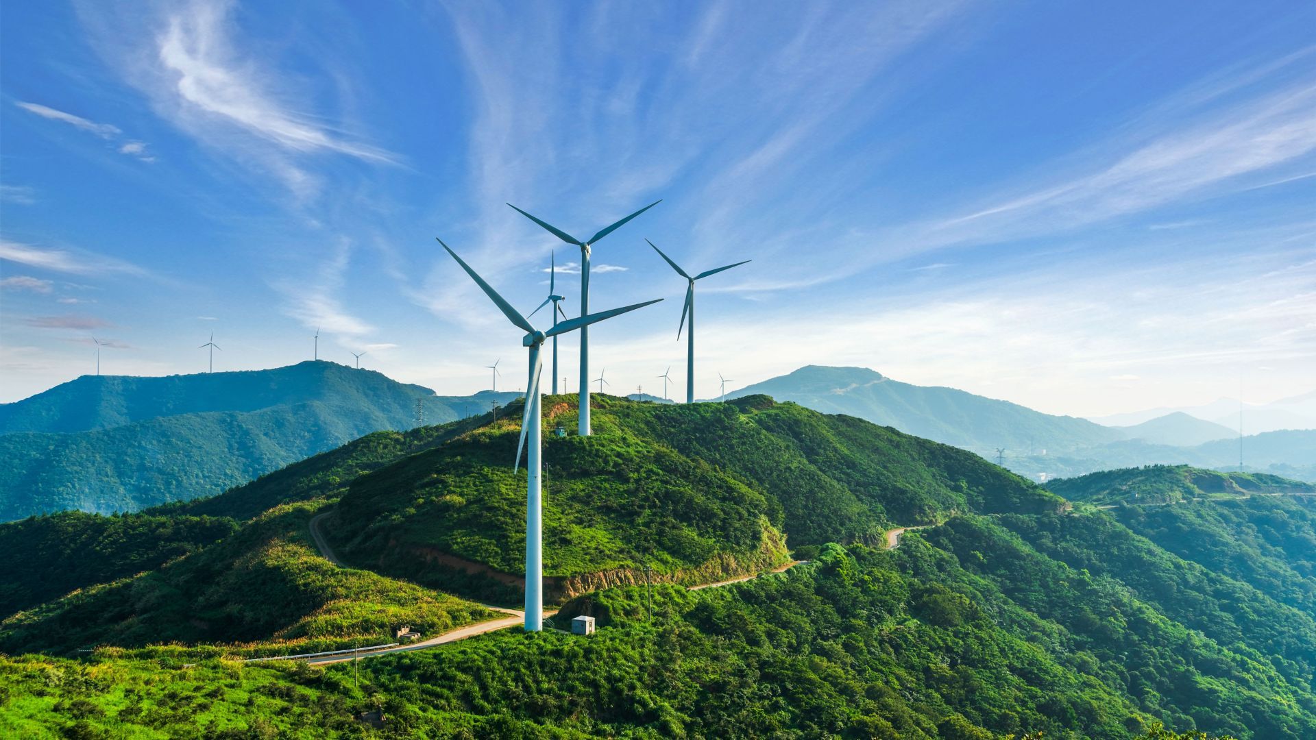
byWind Energy Dashboard
This app analyzes wind energy production globally and other energy sources in Turkey.
 by
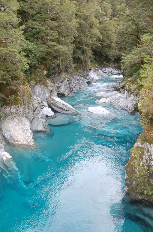
byBlue River Optimization Model
Optimization model of the Blue River reservoir system, supporting purposes such as flood control, minimum flow, and recreation.
 by
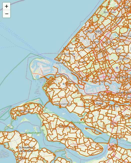
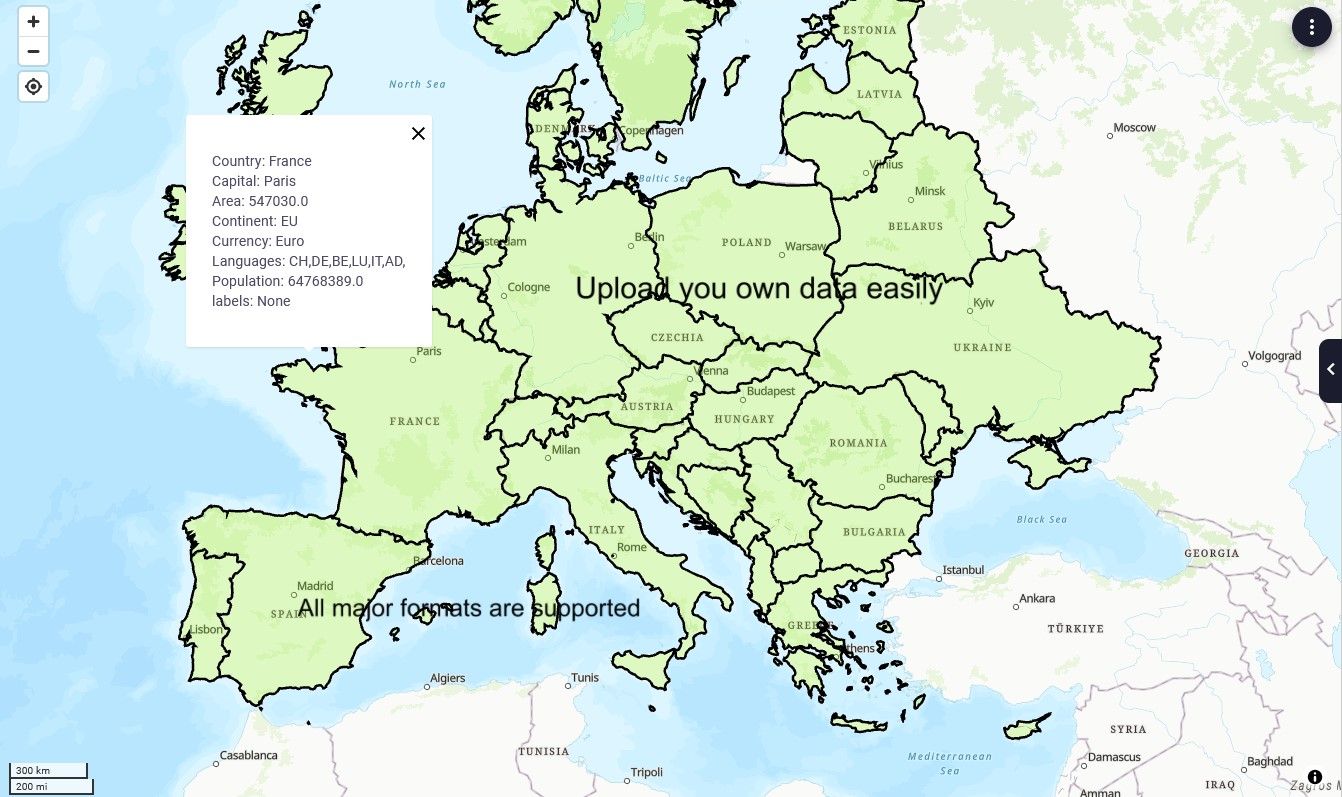
byWMS layers
Add a WMS-layer to a map. This app was developed using the open-source libraries Leaflet, Folium and OWSLib.

 by
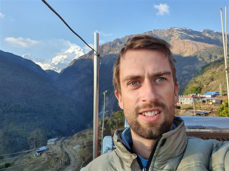
byShadow calculator
This demo application computes the shadows falling on a face from a set of surrounding buildings.
Geographic Information System
GIS-analysis in VIKTOR with Geopandas open-source library
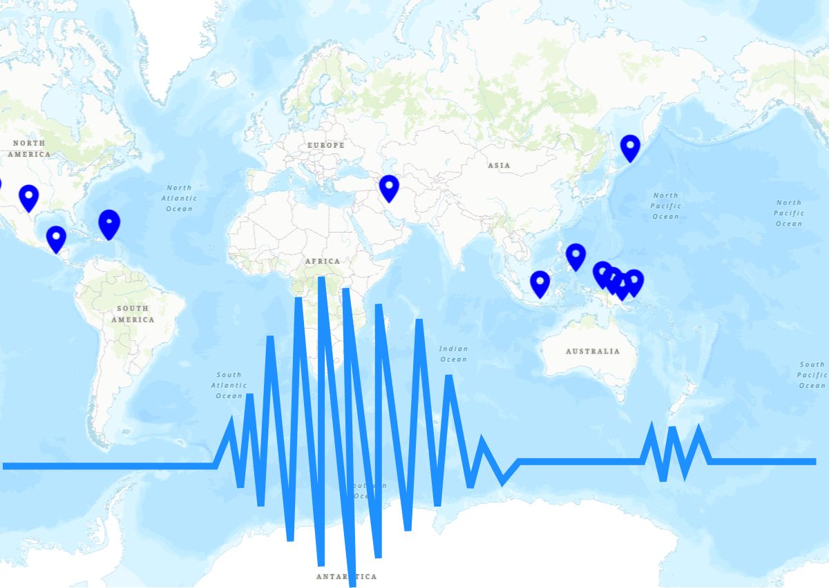
Earthquakes Data
Track earthquakes, convert strong ground motions to Response Spectra, and draw and download Elastic and Design spectra.
 by
byApps gallery
Welcome to the Apps Gallery. Here you can explore, try, and share ready-to-use app templates and their accompanying source code. Discover what you can do with VIKTOR and use it as inspiration to build your own apps!
Category
Disciplines
Integrations
Wind Energy Dashboard
This app analyzes wind energy production globally and other energy sources in Turkey.
Blue River Optimization Model
Optimization model of the Blue River reservoir system, supporting purposes such as flood control, minimum flow, and recreation.
WMS layers
Add a WMS-layer to a map. This app was developed using the open-source libraries Leaflet, Folium and OWSLib.
Shadow calculator
This demo application computes the shadows falling on a face from a set of surrounding buildings.
Geographic Information System
GIS-analysis in VIKTOR with Geopandas open-source library
Earthquakes Data
Track earthquakes, convert strong ground motions to Response Spectra, and draw and download Elastic and Design spectra.