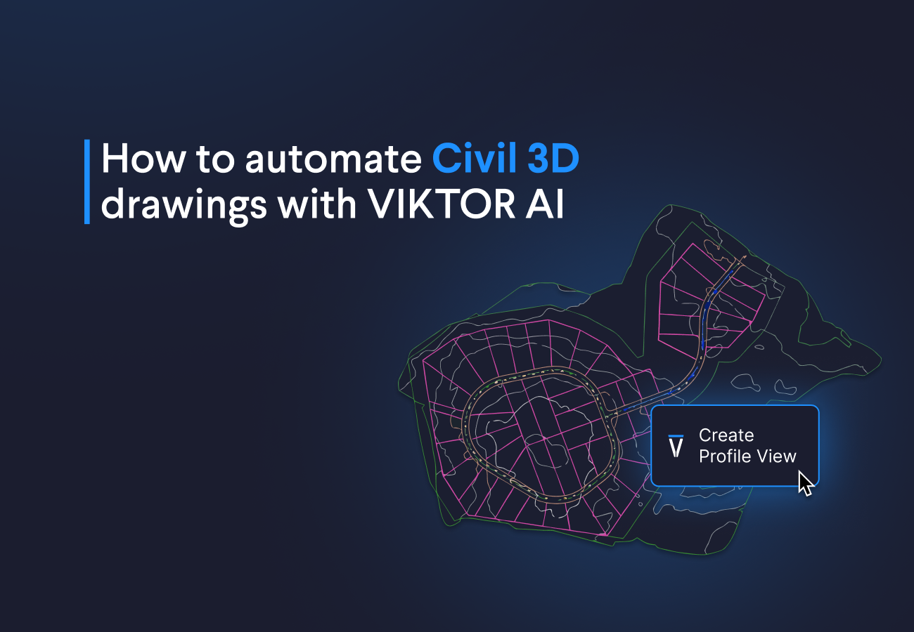
In this blog, you will automate the following Civil 3D workflows:
- A road alignment and set-out points: create a configurable route with transition curves and preview the point coordinates before adding them to the drawing.
- An existing ground longitudinal profile: inspect terrain elevations along a selected alignment and place a native profile view using your drawing's styles.
- Three road cross sections: review the terrain across the alignment by choosing a station range and sampling widths, then generating section views.
How do I create a road alignment and set-out points in Civil 3D with VIKTOR AI?
The first prompt creates a road alignment from a starting position, an initial bearing, and a sequence of spiral-curve-spiral elements. You can adjust the curve directions, radii, spiral lengths, and connecting tangents. A geometry preview and point table let you inspect the proposed route before creating it in Civil 3D.
The app creates a native alignment and COGO points, with a visible polyline connecting the points in station order. This gives you a configurable starting layout and a clear way to inspect the point sequence. The connecting polyline represents that sequence; the native alignment holds the actual tangent, spiral, and circular geometry.
Before running the app, install VIKTOR Desktop, sign in, add Civil 3D, and start the personal worker. Keep one licensed Civil 3D instance open on the same Windows computer, with its metric profile matching the worker. The integration is in beta and requires VIKTOR SDK 14.36.0 or later. See the Civil 3D integration guide for setup details.
Let's see this in action. Use the prompt below in the App Builder to create the alignment app.



Create road alignment and set-out points with Civil3D
You can make the starting location easier to set by adding a VIKTOR map to the app. Place the start point on a map and sketch an approximate route across a georeferenced site before creating the alignment. If the site already has mapped reference features, the app could also let you select one on the map. The sketch is a visual guide, the curve inputs still define the Civil 3D alignment. I’ll leave it to you to come up with a good prompt so you can get a better grasp of the app builder.
How do I create an existing ground profile in Civil 3D with VIKTOR AI?
Once the alignment is in place, the next step is to inspect the ground along its length. This second prompt uses an alignment and an existing surface to create a dynamic surface profile and a profile view in Model Space. You can use the alignment from the first example or another alignment already in your project.
The app starts by inspecting the drawing and presenting the available alignments, surfaces, and styles. You choose the source objects and where the view should appear. This makes the workflow reusable across drawings with different names and presentation standards, without asking you to rewrite the prompt for every project.
Have a surface covering the route available in Civil 3D before running this example. The first prompt creates the horizontal alignment and points; it does not create the terrain surface or a proposed vertical road design.
To follow this example, download the Civil 3D model and open it in Civil 3D
Create existing ground profiles in Civil3D
You can also improve how the longitudinal profile reads in Civil 3D. Explore the available profile view and band styles in the app, then apply a full grid and clear station labels for a better looking profile!
How do I create road cross sections in Civil 3D with VIKTOR AI?
The longitudinal profile shows the ground along the route. Cross sections show how it changes to the left and right, helping you inspect slopes and variations across the alignment at selected locations.
The third prompt creates three sections from an existing alignment and surface. You choose the station range and sampling widths, preview the stations in VIKTOR, and create the sample lines and native section views. Starting with three sections keeps the first result easy to inspect before adapting the app to a larger drawing task.
The prompt also asks the app to verify each view and reuse completed objects on retry. If one view is missing, the app reports it without creating copies of the views already completed. This keeps a partial result manageable when you need to run the creation step again.
To follow this example, download the Civil 3D model and open it in Civil 3D.
Create road cross sections in Civil3D
What's next for the Civil 3D integration?
The current integration provides a strong foundation, with several opportunities to expand the workflow further:
- DWG downloads: bring the completed drawing back into VIKTOR. Currently, you save the result in Civil 3D yourself.
- Surface creation: extend workflows that need new terrain surfaces. Direct TIN surface creation is currently unavailable through the session API.
- Corridor workflows: expand beyond reading existing corridors.
These boundaries are described in the Civil 3D integration guide. Share your use case on the VIKTOR Community to help inform future priorities.
Conclusion
These three prompts turn repeated road drawing tasks into configurable workflows. You can create an alignment and set-out points, inspect the ground along the route, and generate cross sections at selected stations. Each result stays in Civil 3D for further review and development.
VIKTOR brings the inputs, previews, and software connection into apps your team can test, refine, and reuse. Start with the task you repeat most often, then adapt its inputs and presentation to your projects. Try one of the prompts above, or book a demo here to explore how you can automate your team’s Civil 3D workflows.
Start automating your workflows
Related Blog Posts

Get our best content in your inbox
Subscribe to our newsletter and get the latest industry insights