VIKTOR Blog
Get the latest updates on news and announcements, technical solutions and background articles.
by VIKTOR Team
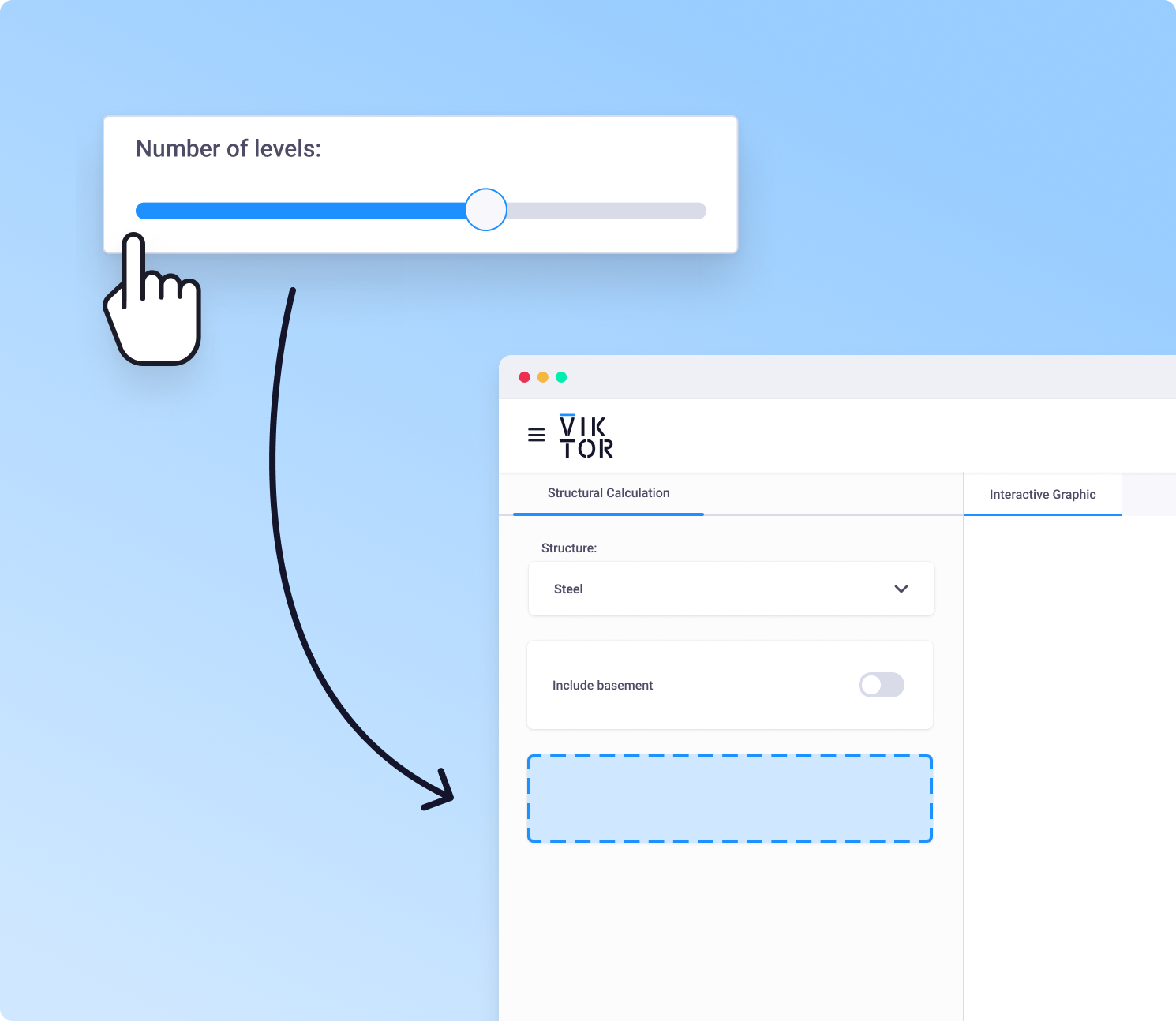
Visual Builder: Click to create your UI
Not an expert in creating UIs but looking to create your own automation tools easily? Click together your desired UI within seconds to generate a blueprint for your applications using the Visual Builder!
Read more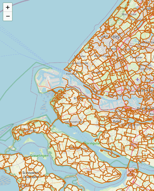
by VIKTOR
Easily add any WMS-layer to your map
Maps require the right data to be effective, and adding a WMS layer grants real-time access to geospatial data like satellite imagery or street maps.
Read more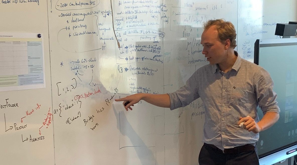
by VIKTOR
Hackathon stimulates knowledge development
Structural engineers at het Ingenieursbureau van de Gemeente Amsterdam participated in a hackathon to boost their programming skills and learn about building apps with VIKTOR.
Read more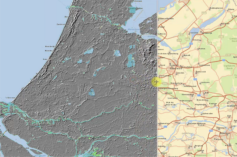
by VIKTOR
Open-source map-based AHN elevation visualization sample app
Use this open-source sample application to automatically generate ground level profiles to perform geotechnical calculations and create 3D models.
Read moreVIKTOR Blog
Get the latest updates on news and announcements, technical solutions and background articles.
by VIKTOR Team
Visual Builder: Click to create your UI
Not an expert in creating UIs but looking to create your own automation tools easily? Click together your desired UI within seconds to generate a blueprint for your applications using the Visual Builder!
Read moreby VIKTOR
Easily add any WMS-layer to your map
Maps require the right data to be effective, and adding a WMS layer grants real-time access to geospatial data like satellite imagery or street maps.
Read moreby VIKTOR
Hackathon stimulates knowledge development
Structural engineers at het Ingenieursbureau van de Gemeente Amsterdam participated in a hackathon to boost their programming skills and learn about building apps with VIKTOR.
Read moreby VIKTOR
Open-source map-based AHN elevation visualization sample app
Use this open-source sample application to automatically generate ground level profiles to perform geotechnical calculations and create 3D models.
Read moreCustomer Cases
Read all about how VIKTOR solutions are succesfully applied to real-life customer cases from industry-leading companies
 Read more
White Papers & Guides
Get in-depth insight into topics like parametric design, digital transformation, and creating web-based applications.
 Read more