VIKTOR Blog
Get the latest updates on news and announcements, technical solutions and background articles.
Disciplines
Integrations
November 27, 2025

by Alejandro Duarte Vendries
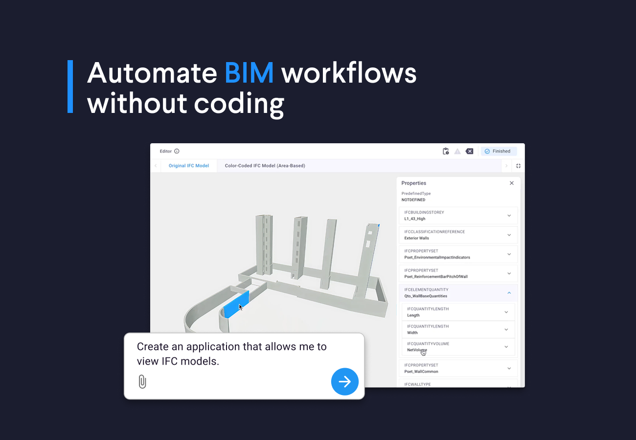
BIM tutorial: Create Dashboards and Quantity Takeoffs with Just 3 Prompts
In this blog, I’ll show you how I used the VIKTOR App Builder to create my own BIM applications, without any coding.
Read more
June 13, 2023

by VIKTOR
Precipitation tool shows 2023 is another extremely dry year
Groundwater levels in parts of the Netherlands are decreasing rapidly. Together with Arcadis, an application was developed that can be used to retrieve and download precipitation data from water boards and provinces in the Netherlands.
Read more
May 09, 2023
by VIKTOR
Streamlining BIM Workflows: IFC Viewer Saves Time and Money
Enhancing BIM collaboration with VIKTOR's IFC Viewer web-app. You can effortlessly view and share BIM data with VIKTOR!
Read more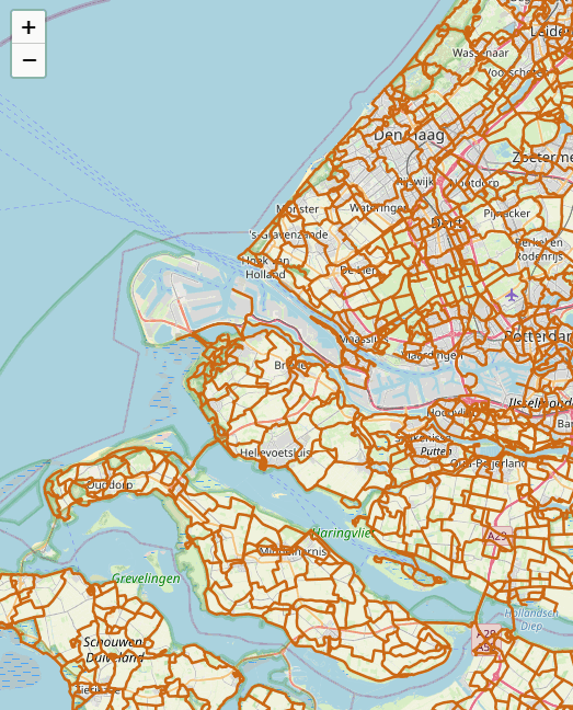
April 28, 2023
by VIKTOR
Easily add any WMS-layer to your map
Maps require the right data to be effective, and adding a WMS layer grants real-time access to geospatial data like satellite imagery or street maps.
Read more
April 05, 2023
by VIKTOR
How BIM innovations are transforming AEC
Get a detailed understanding of how you can efficiently pioneer today's & next-gen BIM cloud-based automation!
Read more
November 15, 2021

by Anande Bergman
Parametric design in the Cloud for engineering and construction
Unlock the real potential of parametric design by optimizing workflows through collaboration. Read all about Cloud-based parametric design on viktor.ai
Read more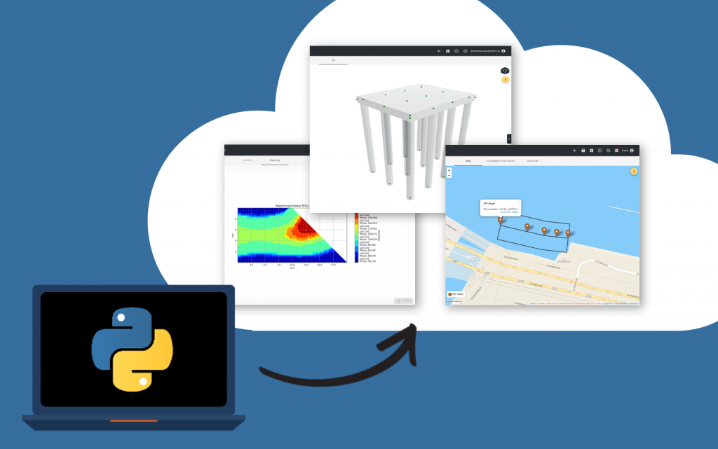
October 07, 2020
by VIKTOR
How are engineers creating professional software tools?
This is the first of a series of articles about engineering and Python, written as part of our mission to unleash the world's real enigineering potential!
Read moreVIKTOR Blog
Get the latest updates on news and announcements, technical solutions and background articles.
Category
Disciplines
Integrations
November 27, 2025
by Alejandro Duarte Vendries
BIM tutorial: Create Dashboards and Quantity Takeoffs with Just 3 Prompts
In this blog, I’ll show you how I used the VIKTOR App Builder to create my own BIM applications, without any coding.
Read moreJune 13, 2023
by VIKTOR
Precipitation tool shows 2023 is another extremely dry year
Groundwater levels in parts of the Netherlands are decreasing rapidly. Together with Arcadis, an application was developed that can be used to retrieve and download precipitation data from water boards and provinces in the Netherlands.
Read moreMay 09, 2023
by VIKTOR
Streamlining BIM Workflows: IFC Viewer Saves Time and Money
Enhancing BIM collaboration with VIKTOR's IFC Viewer web-app. You can effortlessly view and share BIM data with VIKTOR!
Read moreApril 28, 2023
by VIKTOR
Easily add any WMS-layer to your map
Maps require the right data to be effective, and adding a WMS layer grants real-time access to geospatial data like satellite imagery or street maps.
Read moreApril 05, 2023
by VIKTOR
How BIM innovations are transforming AEC
Get a detailed understanding of how you can efficiently pioneer today's & next-gen BIM cloud-based automation!
Read moreNovember 15, 2021
by Anande Bergman
Parametric design in the Cloud for engineering and construction
Unlock the real potential of parametric design by optimizing workflows through collaboration. Read all about Cloud-based parametric design on viktor.ai
Read moreOctober 07, 2020
by VIKTOR
How are engineers creating professional software tools?
This is the first of a series of articles about engineering and Python, written as part of our mission to unleash the world's real enigineering potential!
Read moreCustomer Cases
Read all about how VIKTOR solutions are succesfully applied to real-life customer cases from industry-leading companies
 Read more
White Papers & Guides
Get in-depth insight into topics like parametric design, digital transformation, and creating web-based applications.
 Read more