Infra.Tech.Oslo was full of ideas about where infrastructure planning is heading, especially now that AI is making it easier to generate options, compare outcomes, and build project-specific workflows faster. To revisit those ideas in a practical way, we will walk through the following sections:
- Optimized infrastructure planning with InfraSpace
- How VIKTOR extends InfraSpace with engineering-specific analysis
- Demo 1: a swept path analysis app for heavy transport route planning
- Demo 2: a transmission line sag calculation app for early route validation
Optimized infrastructure planning with InfraSpace
InfraSpace is a web-based platform for early-stage infrastructure planning. It is built for alignment-based projects such as roads, railways, power lines, tower routes, and pipelines. The platform gives teams one place to create, upload, evaluate, and optimize route alternatives instead of jumping between disconnected tools. That matters because route decisions made early often shape cost, constructability, environmental impact, and project risk long before detailed design begins.
One of the strongest parts of InfraSpace is that it combines visualization with analysis. Teams can review alternatives in map and 3D views and understand how each route relates to terrain, elevation, land use, existing infrastructure, and other project constraints. At the same time, KPI dashboards help compare options using values such as cost, route length, land take, cut and fill volumes, earthworks, CO2, structures, and environmental impact. For roads, this gives early insight into quantities such as excavation, fill, rock excavation, bridge segments, retaining walls, and wall area. For transmission lines, it helps teams study terrain-based route options and tower placement before committing to detailed design.
How VIKTOR extends InfraSpace with engineering-specific analysis
InfraSpace already gives teams a strong environment to create and compare alternatives, but many projects still need engineering-specific checks before a route can move forward with confidence. This is where VIKTOR adds value.
VIKTOR is a platform that helps engineers build, connect, and share engineering applications and workflows. With the App Builder, teams can create engineering apps in minutes through prompting and turn project logic into usable tools that can be shared across the organization.
Engineering applications created in VIKTOR can be connected to InfraSpace through its API, which helps teams:
- analyze routes alternatives in InfraSpace
- create bespoke engineering apps for a specific project need
- run project-specific checks without a long development cycle
- connect those workflows directly to InfraSpace
- export results back to InfraSpace or to GIS or CAD software
In the next sections, we will see how this integration creates value for teams working on infrastructure projects.
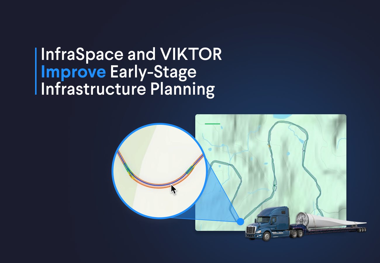
Demo 1: swept path analysis app for heavy transport routes
The first demo focuses on transport planning for infrastructure routes that need to support heavy haul vehicles carrying long components such as wind turbine blades. This creates a practical challenge early in the project. A route can look acceptable on a map and still fail once vehicle geometry, turning behavior, and overhang are taken into account.
The final application allows teams to:
- start in InfraSpace by assessing alignment alternatives and comparing project-level KPIs such as cost, length, earthworks, and environmental impact
- send a selected road alignment to VIKTOR through the InfraSpace API
- access the project data in VIKTOR and display the route in a 2D basemap
- define the vehicle and trailer configuration
- assess multiple scenarios by running swept path analyses
- export the results back to InfraSpace or to third party GIS or CAD software
Demo 2: transmission line sag calculation app for early route validation
The second demo focuses on transmission line planning, where route alternatives can be compared early but technical feasibility is often checked later in a separate step. That creates risk because a route may look promising at first and still lead to problems once terrain, span geometry, cable behavior, and clearance requirements are taken into account.
The final application allows teams to:
- start in InfraSpace by comparing transmission line alternatives using indicators such as route length, estimated cost, embodied CO2, land use, and terrain conditions
- send the selected alignment and tower data to VIKTOR through the InfraSpace API
- visualize the route and elevation profile in VIKTOR to review the alignment in a clearer engineering context
- define cable and loading inputs such as cable diameter, cable tension, wind load, and other relevant parameters
- generate sag and clearance visualizations to assess how the line behaves across the terrain
- evaluate different configurations and review each span independently to check whether clearance requirements are met
- export the results back to InfraSpace or to GIS or CAD software
Wrapping up
InfraSpace helps teams create and compare infrastructure alternatives earlier, and VIKTOR extends that process with a platform for engineering applications and project-specific workflows. Together, they make it easier to move from route ideas to validated options without breaking the process into disconnected steps. If you want to explore how this could work for your own infrastructure projects, you can book a demo with the InfraSpace and VIKTOR teams.
Start building apps for free